Drone & Thermal Roof Inspection roof planning built from the roof condition.
Inspecting Large DC Roofs From the Air Instead of On Foot
The problem with a quarter-acre of low-slope roof is that the part doing the damage is invisible from standing height. A field of intact-looking membrane can have soaked insulation spreading underneath it for a year before the first stain reaches a ceiling tile, and a two-person crew can walk that roof all afternoon without ever stepping on the wet spot. We solve that across Washington, DC by flying the roof: a drone carrying a 4K camera and a radiometric infrared sensor records the whole surface in a fraction of the time, reads moisture a walkover cannot, and never puts a boot on a roof we have not yet certified as safe to stand on.
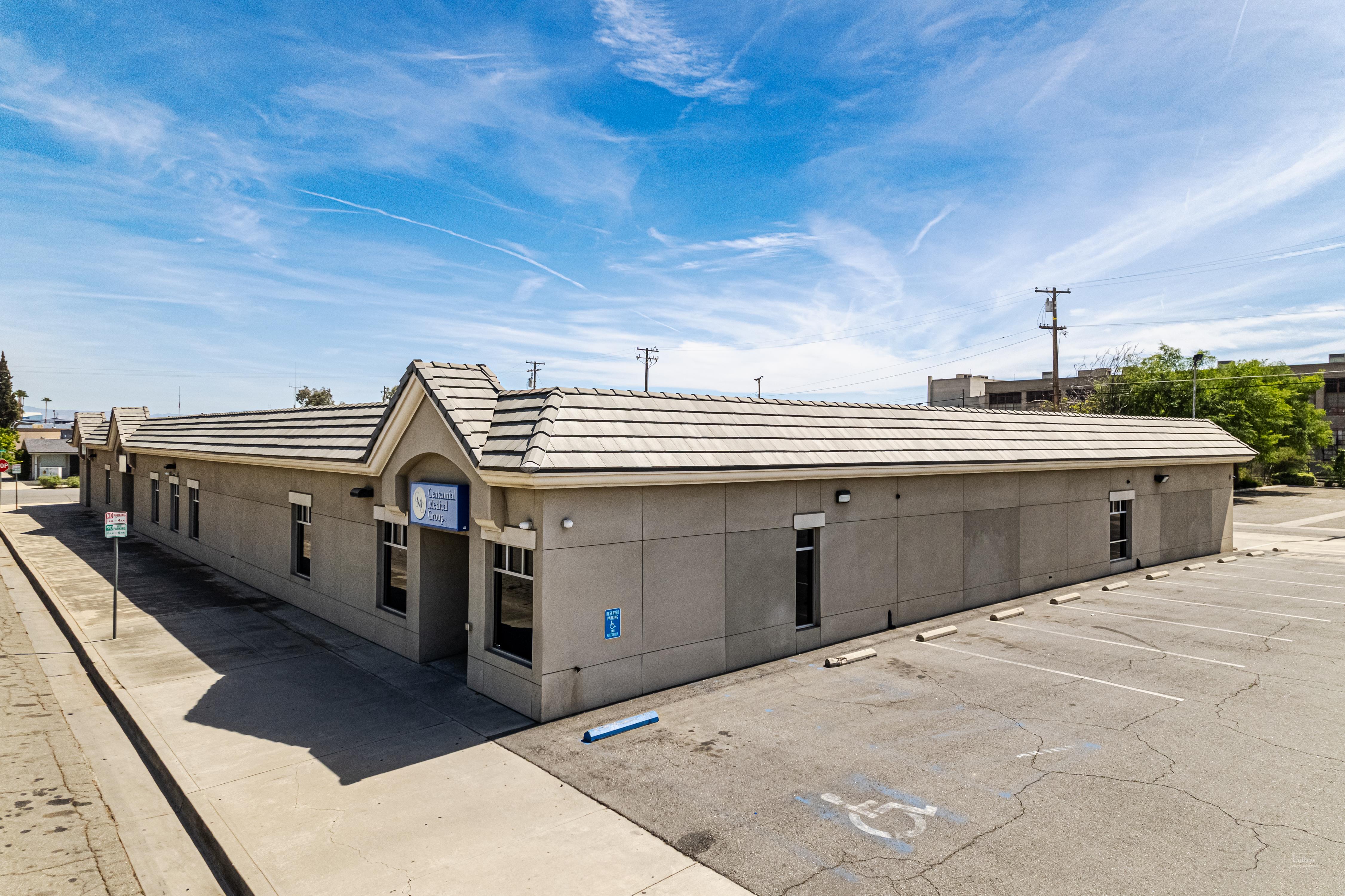
DC's commercial stock is full of exactly the buildings this was built for. The federal and association office blocks downtown, the distribution and flex space strung along the rail corridor toward the Maryland line, the campus roofs at the universities and hospitals, and the wave of large multifamily decks rising through NoMa and across the river east of the Anacostia all share the same trait: big, flat, awkward to reach, and expensive to guess wrong about. A complete, documented condition picture on a roof like that is worth far more than a clipboard and an afternoon.
What Infrared Sees That Eyes Miss
The headline finding on any thermal pass is trapped moisture inside the assembly, and it comes down to simple physics. Insulation that has absorbed water stores the day's solar heat far longer than the dry board beside it. After sundown, as the roof gives that heat back, the saturated zones stay warm and light up on the infrared image while everything dry has already gone cold. We fly the thermal survey in that evening cooldown window when the contrast peaks, and the resulting map shows the exact outline and reach of the wet insulation even where the membrane on top looks flawless. A handful of confirming core cuts at the flagged areas turn that image into a decision: recover the dry field and patch the wet, or tear off because the water has run too far to chase. On a large roof that single call swings six figures, and eyeballing it is how owners either overspend or get blindsided.
Why DC Airspace Makes the Pilot Matter
Flying a drone for pay is regulated everywhere, and Washington is about the most restricted airspace in the nation. The entire District falls inside the Special Flight Rules Area, with a tighter Flight Restricted Zone wrapping the core, so commercial drone work here is nothing like a weekend hobby flight. It requires a licensed remote pilot operating under FAA Part 107 and the specific airspace authorizations the rules demand for the site in question. We carry that and we handle it. The other safety dividend is on the ground: pulling our people off the roof for the assessment means no foot traffic wearing down a fragile membrane and no fall exposure on a surface riddled with soft spots we have not yet found.
Documentation an Adjuster Will Accept
After hail or a wind event, a commercial carrier wants evidence with coordinates, not a narrative. Our drone produces GPS-tagged, high-resolution imagery that records hail-strike density across the field, lifted or displaced membrane, damaged rooftop units, and overall condition in the format property adjusters use for remote review. Because every frame is geotagged, each finding pins to a precise point on the roof, which is exactly the backbone a contested claim needs. We assemble the package, and when a storm has hit a building hard we can usually deliver the post-event documentation within a day or two of the flight.
Measurements That Take the Guesswork Out of a Reroof
Long before a tear-off quote, the aerial survey hands us real numbers: accurate roof areas, a full count and location of every drain, curb, vent, and unit, and a dated record of existing conditions. Drawings built from measured data instead of assumptions mean fewer surprises when the old roof comes off and fewer change orders mid-job. For an owner sitting on a portfolio, a periodic thermal survey converts roof spending from a string of leak emergencies into a planned capital schedule, so you replace the roofs that are genuinely failing on a timeline you set rather than the one a thunderstorm sets for you.
- Full 4K visual coverage of the entire roof, every seam, drain, and penetration
- Radiometric thermal moisture map flown in the evening cooldown window for maximum contrast
- Core-cut confirmation at flagged areas to verify the insulation condition
- GPS-tagged report formatted for commercial property insurance review
- Measured roof areas and a dated condition record for reroof specification
- FAA Part 107 licensed flight with the airspace authorizations the District requires
Common Questions About Drone Roof Inspection in Washington, DC
Why is a flight better than walking the roof?
It covers the whole surface at a steady altitude and builds a complete photographic record with no foot traffic to abrade the membrane and no crew exposed to a roof of unknown condition. A walkover of a large roof eats hours and still misses shallow ponding you cannot see from standing height. And thermal moisture mapping is impractical on foot across a big roof anyway, because it needs the uniform coverage only a flight delivers.
Can infrared actually reveal hidden water?
Yes, in the right conditions. We fly the thermal survey after sundown, when insulation that soaked up the day's heat stays warm against the cooling dry board around it and stands out plainly on the sensor. The map is precise enough to drive the choice between a targeted repair and a full tear-off, and we back it with core cuts before locking in a scope.
Is it even legal to fly over a roof in DC?
Only with the right credentials. The District sits inside heavily restricted airspace around the capital, so commercial drone work here demands an FAA Part 107 licensed pilot plus the airspace authorizations the rules call for at that location. We hold the license and arrange the authorizations.
How does the footage support an insurance claim?
We deliver a GPS-tagged report documenting hail-strike locations and density, wind damage patterns, equipment and flashing damage, and overall membrane condition, formatted to match what commercial adjusters expect for remote review. Since every image is geotagged, each finding ties to an exact spot on the roof.
Which roofs are the right fit?
Large, low-slope commercial roofs, warehouses and flex buildings, retail centers, office complexes, and multi-building campuses. For roughly any commercial roof over 10,000 square feet needing a full condition assessment, a flight is faster and more thorough than a manual walk. Small or steeply pitched roofs are often quicker to check by hand.